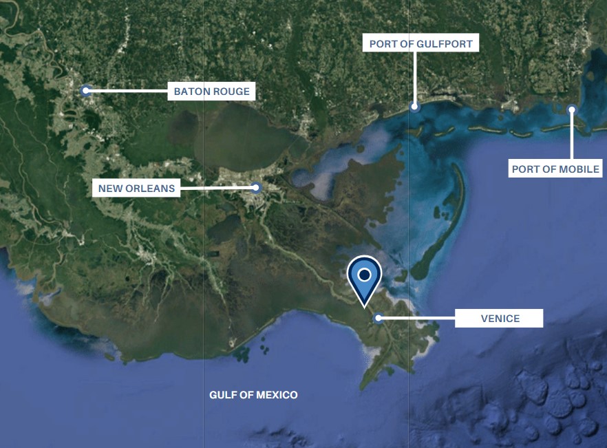
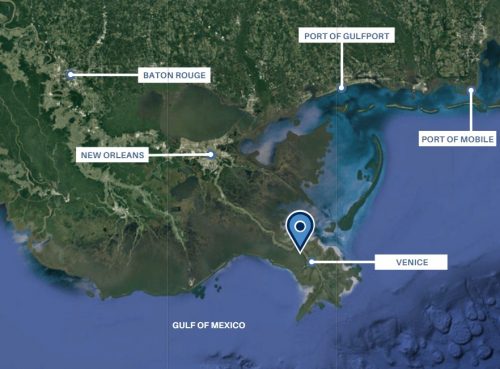
Location: 133 Newman’s Lane, Buras, LA 70041; West Bank of Mississippi River on Highway 23
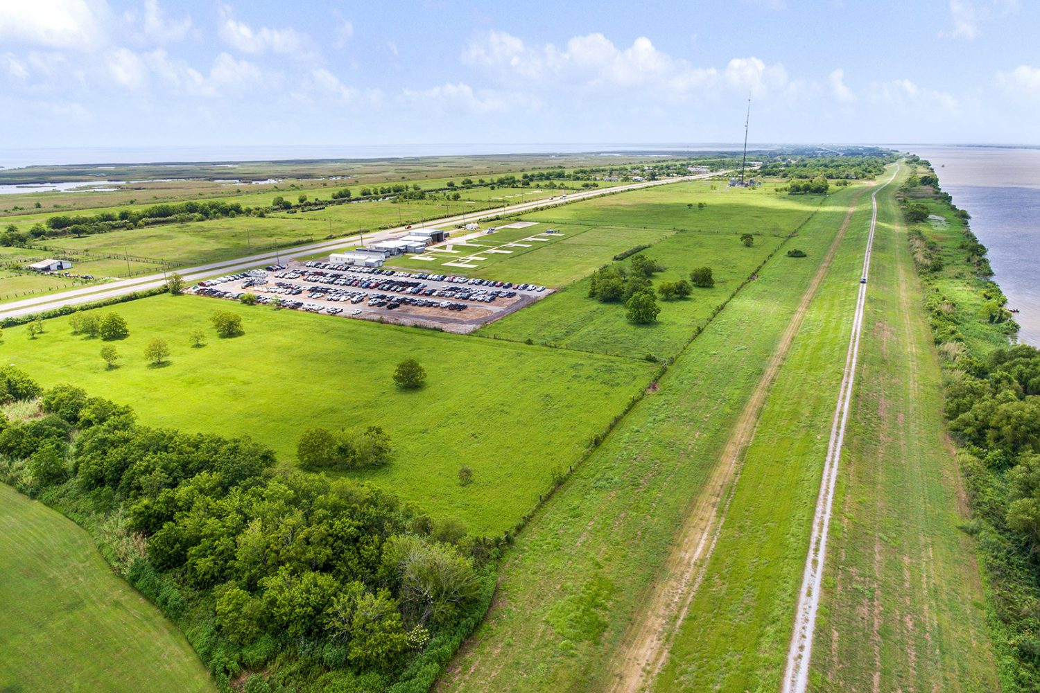
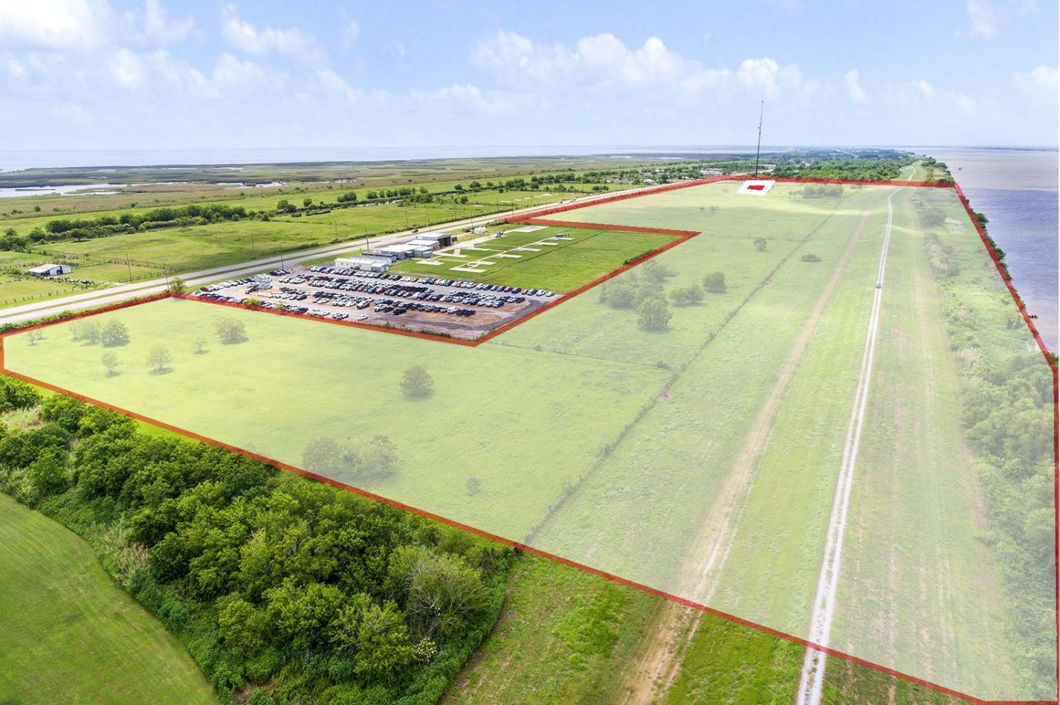
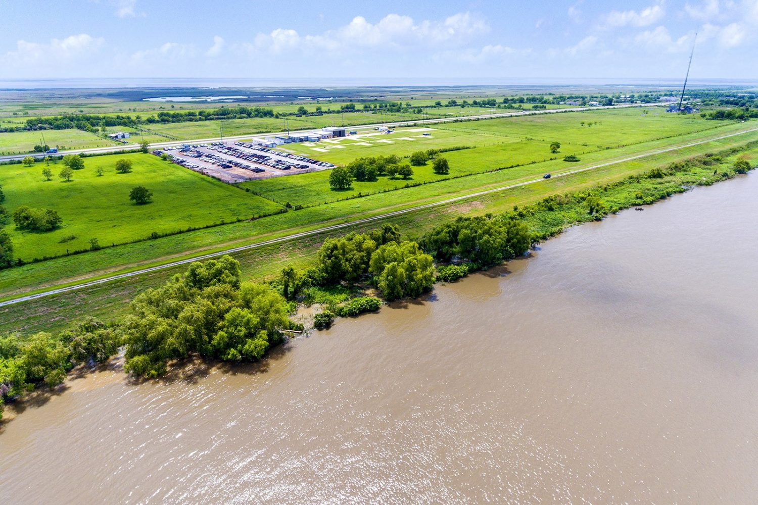
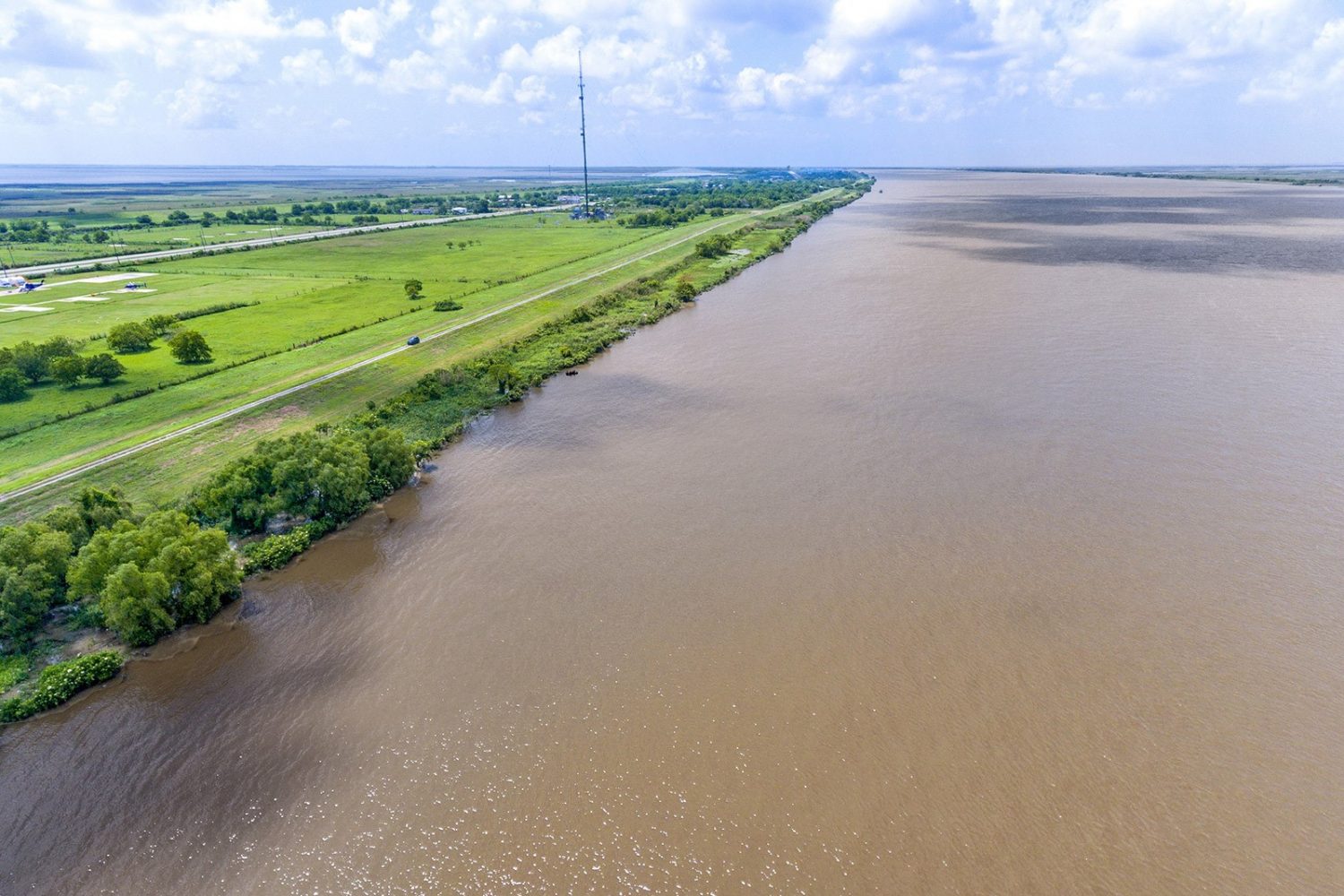
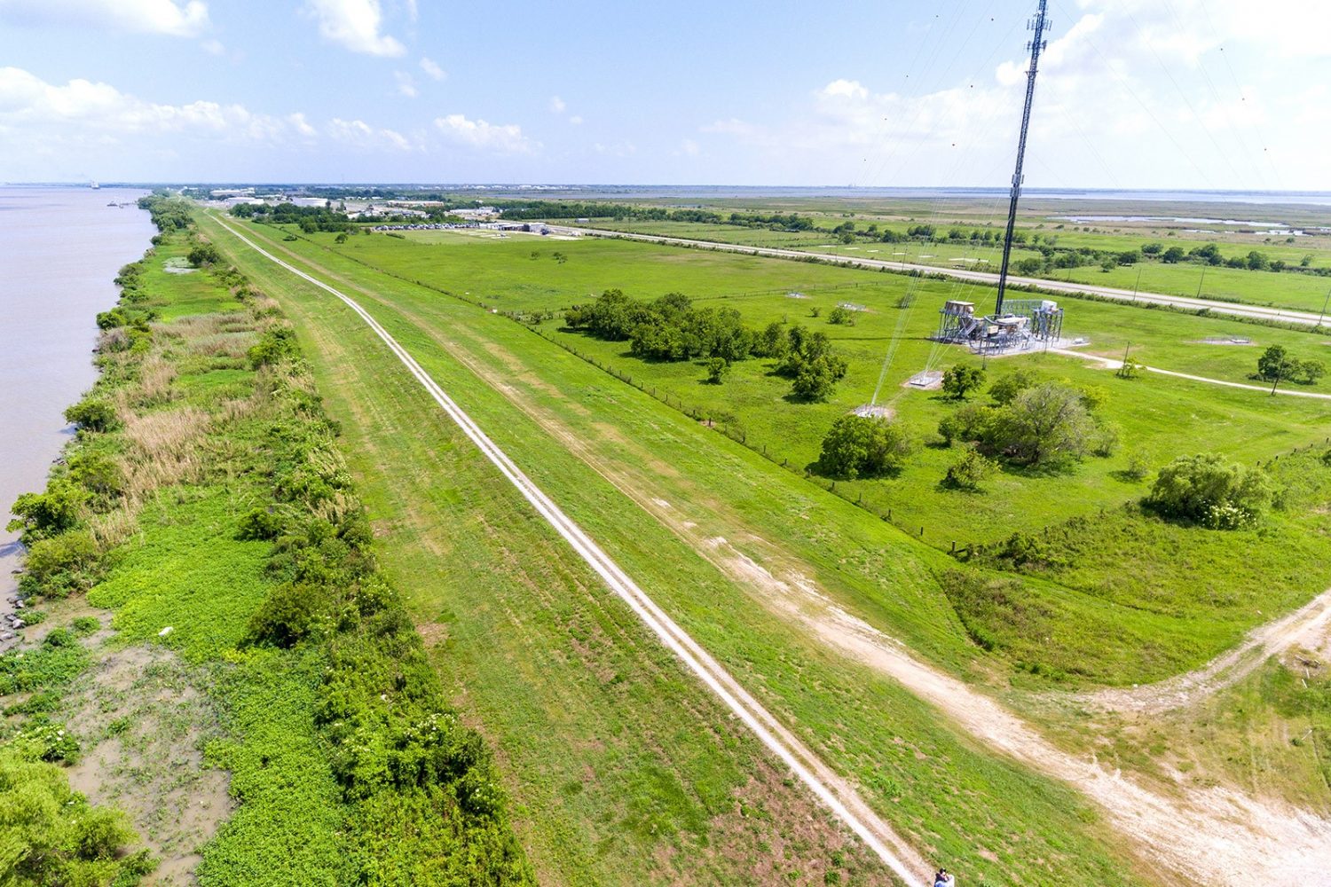
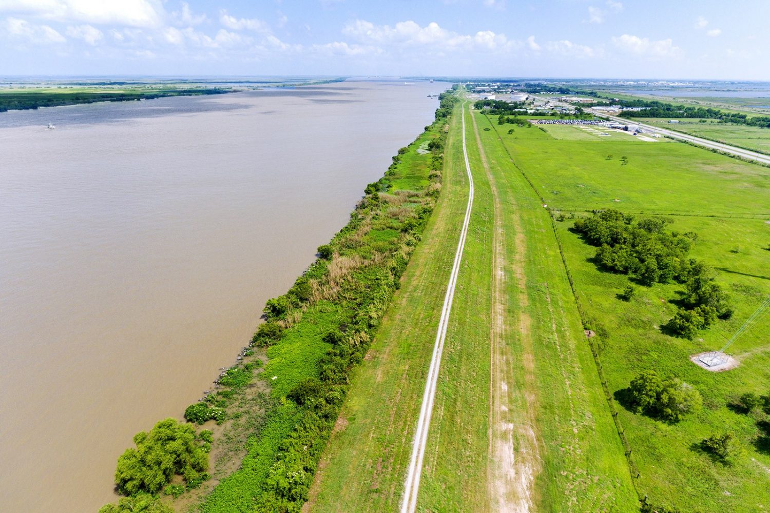
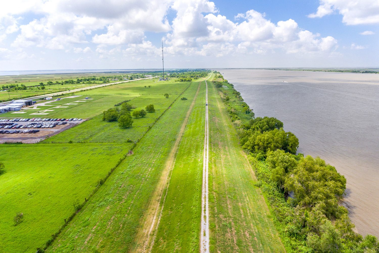
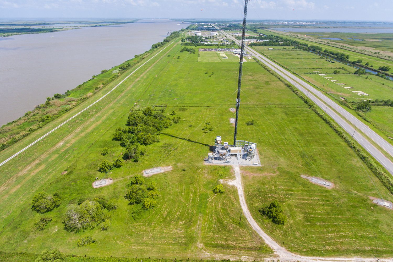
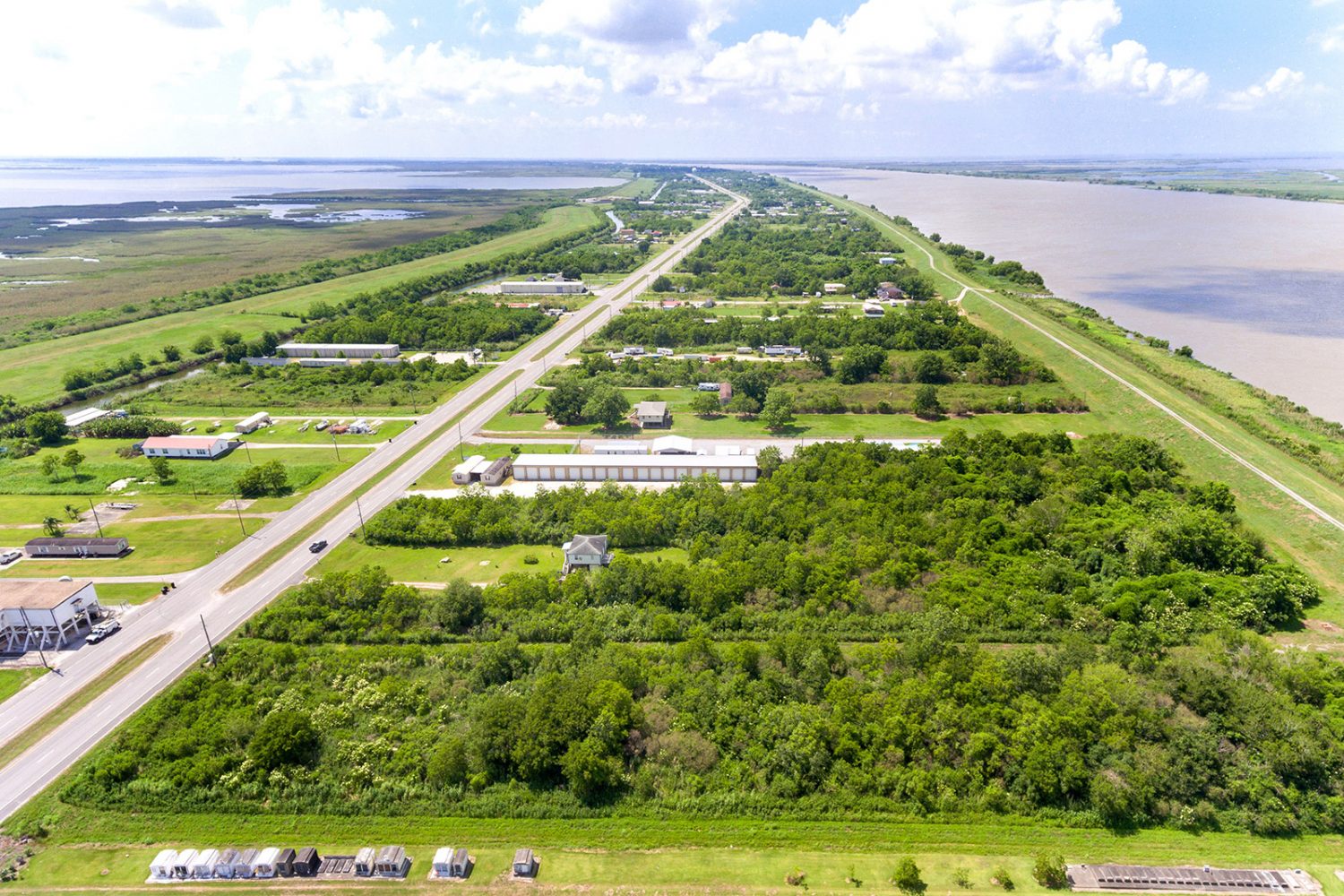
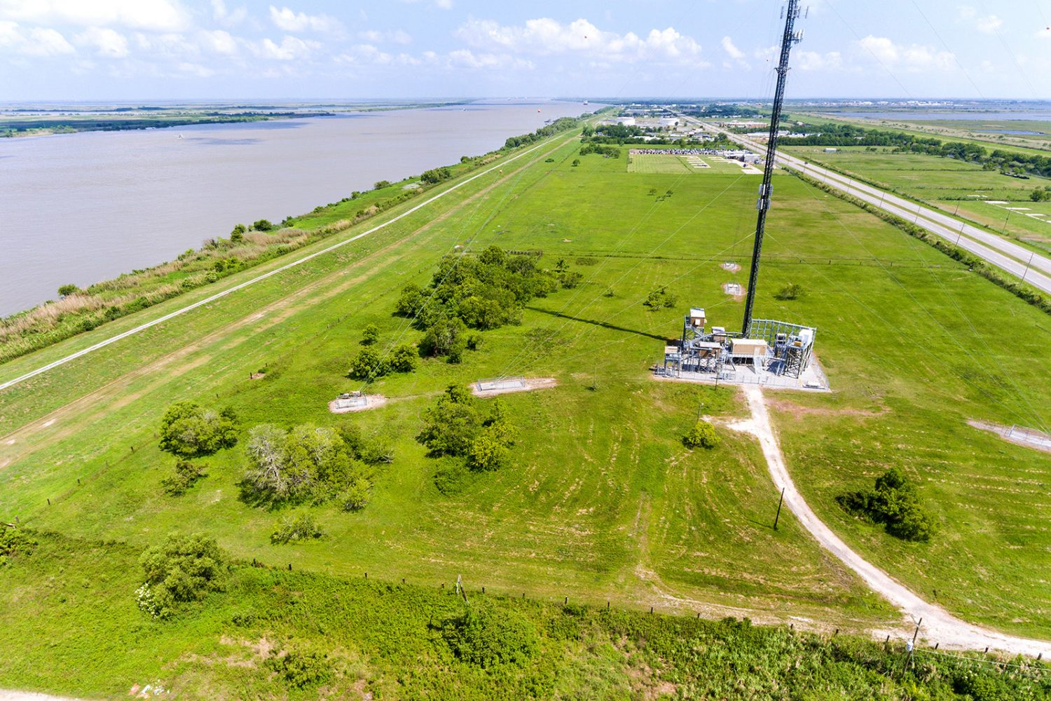
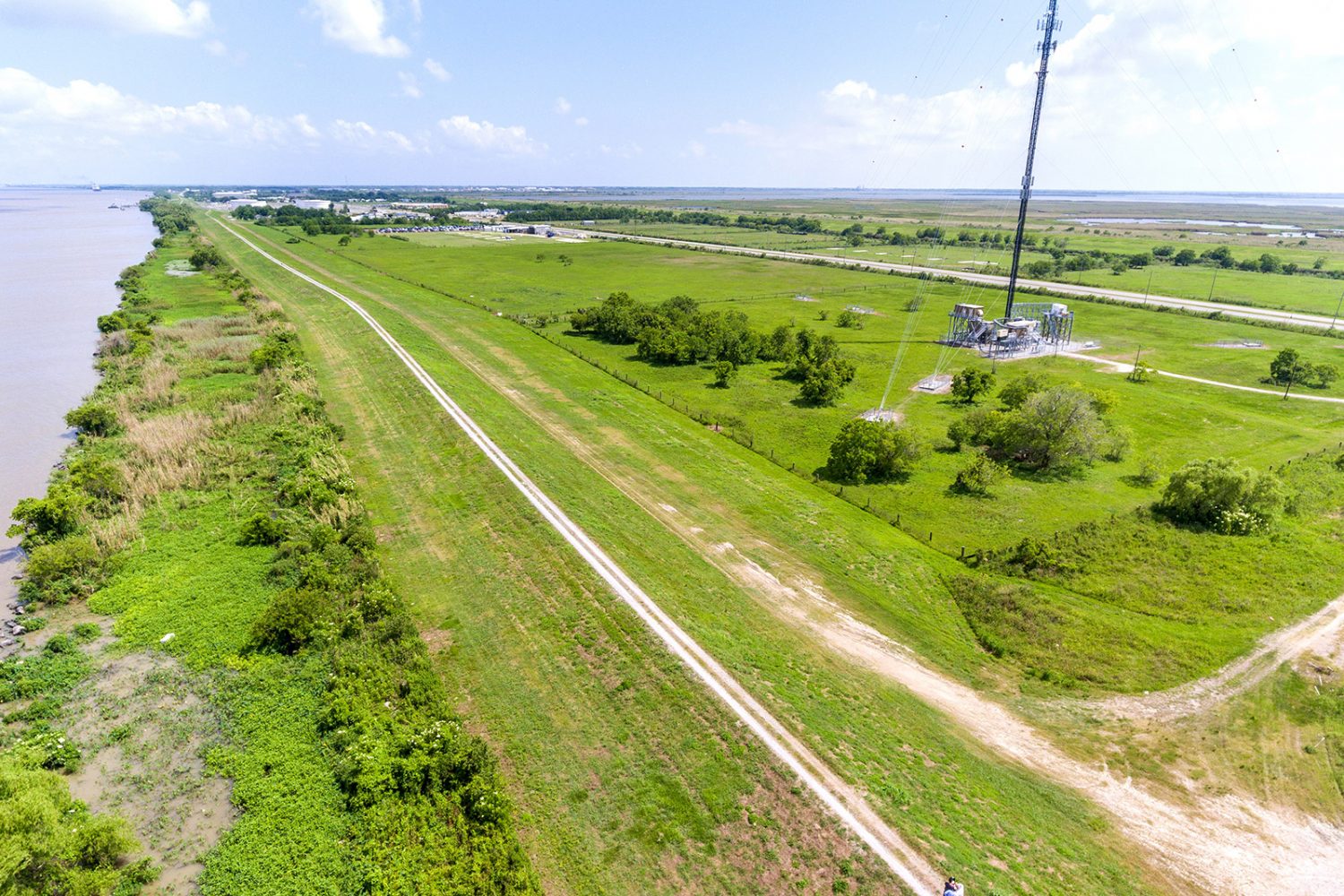
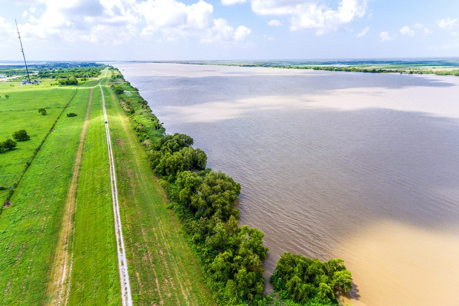
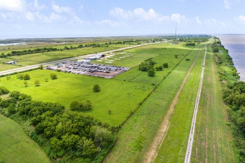
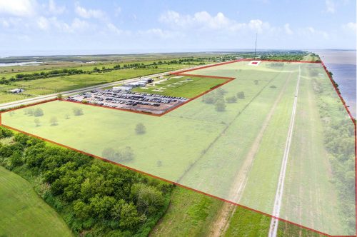
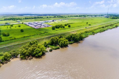
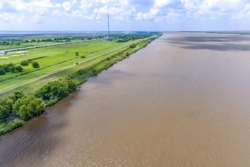
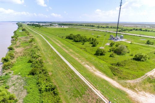
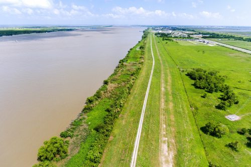
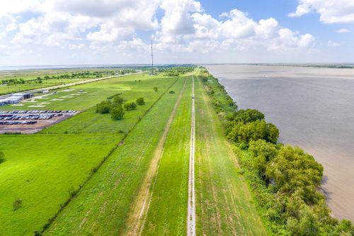
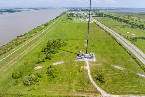
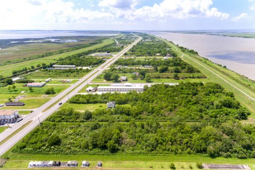
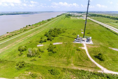
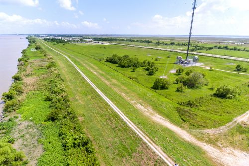
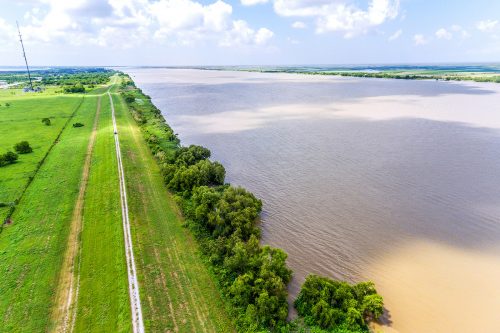
This offering, ideally located at Mile Marker 12, provides a strategic and proximate location for land-based operations to gulf, ocean, and any deep-water waterborne traffic. The tract possesses significant frontages along the West Bank of the Mississippi River, substantive support land areas, frontage along Highway 23 and a Heavy Industrial Zoning designation. The property previously received an Army Corps of Engineers Permit in 2005 for development of a ship-to-barge transfer facility. The property features .57 miles (3,019’) linear frontage along the west bank of the Mississippi River with +/- 54 usable acres of land that can accommodate numerous industrial uses including—tank farm development, terminal operations, single-point mooring operations, docking etc.
The Mississippi River is tied to more than 15,000 miles of inland waterways resulting in a ranking for the Port of South Louisiana as one of the largest ports in the world handling 500 million tons of shipped goods per year.
List Price: $2,750,000 / $47,080.98 per acre
Approximate Total Area: +/- 58.41 acre development site | Net Area: +/- 54 acres
Site Dimensions: .57 miles (3,019’) linear frontage along the west bank of the Mississippi River, approximately 2,000 feet along the east side of Highway 23.
Zoning: I-3, Heavy Industrial
Water Depth: 45’ at approximately 125’ from the Shore and 65’ at 375’ from Shore (Based on 2004 readings)
Please contact Parke McEnery at 504.236.9542 or Peter McEnery at 985.789.9091 for additional information.
